


Tahoe Rim Trail
Free shipping over $100. Free return shipping except oversized items.
Pickup available at 415 North Lake Boulevard
Usually ready in 24 hours
Tahoe Rim Trail
415 North Lake Boulevard
415 North Lake Boulevard
Tahoe City CA 96145
United States
Shipping & Returns
- Items ship in 3 days or less.
- We do not ship anywhere outside of the contiguous US.
- 10 day return policy. Free return shipping.
- Items must be unused, and in their original packaging with tags to be eligible for return or exchange.
- There are no returns on sale items.
Click here for our Shipping and Return Policies
Shipping & Returns
10 day
Features
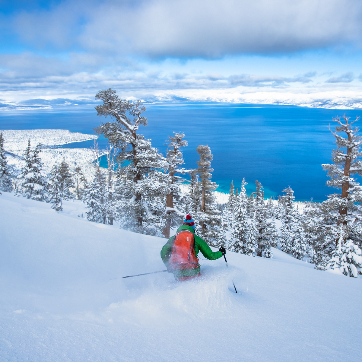
Conceived in 1978 and completed in 2001, the 175-mile Tahoe Rim Trail (TRT) circumnavigates the beautiful Lake Tahoe Basin and traverses some of the most spectacular scenery in the Sierra Nevada and Carson Ranges.
For more than 50 miles the TRT coincides with the Pacific Crest Trail (PCT), a national scenic trail extending from Canada to Mexico through the western United States. The lowest point along the TRT is approximately 6,200 feet above sea level where the Truckee River enters Lake Tahoe; with the highest point at Relay Peak, 10,398 feet. While the average segment elevation gain is 5,400 feet, the total elevation gain of the entire trail is greater than 40,000 feet.
The Topographic Map Guide is arranged for clockwise travel around the Tahoe Rim Trail starting at Tahoe City. Each map page has a detailed trail profile that shows the elevation changes you will encounter. The TRT is highlighted and centered on each page so you can easily track your progress. The Topographic Map Guide also includes detailed information about the eight standard sections of the TRT, each section is from 15 to 30 miles and covers about two pages of the map guide.
More convenient and easier to use than folded maps, but just as compact and lightweight, National Geographic's Topographic Map Guide booklets are printed on "Backcountry Tough" waterproof, tear-resistant paper with stainless steel staples. A full UTM grid is printed on the map to aid with GPS navigation.
- Waterproof, tear-resistant, and topographic map.
Technical Specs